Aerial Archaeology, Then and Now November 12, 2020 | 2:00 – 3:30 PM (EDT) | Register Now |
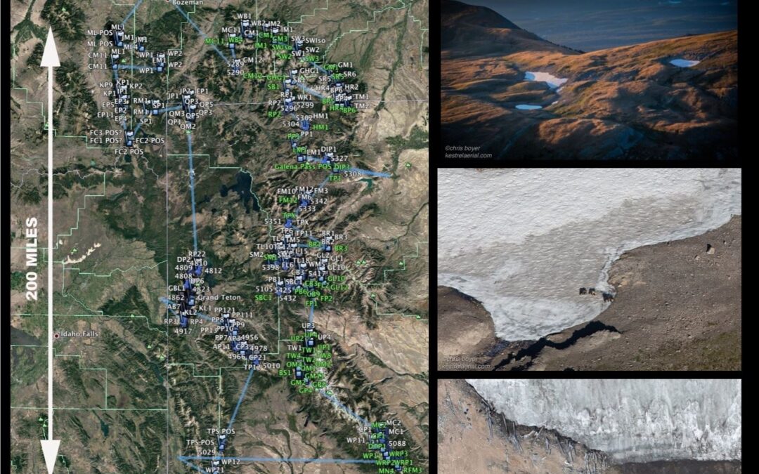
Today, with a light aircraft, high resolution cameras, and a thorough survey protocol, huge landscapes can be covered in a matter of hours with photographs capturing both quantitative data and relevant qualitative information about context, scale and character. The qualitative aspects of narrative photography not only add context to important data at the site, but in an increasingly visual culture, artistic and narrative photography provides a hook to draw people into the story of important landscape research.
The operational, technological, regulatory, and economic differences between aerial platforms and software available to process imagery are changing rapidly and deserve careful attention when considering project design for survey and imaging of project sites. Join us on Thursday, November 12 at 2:00 pm EST for Aerial Archaeology, Then and Now – a webinar that will give attendees specific knowledge of the state of aerial imaging technology today and detailed options for its deployment in the service of archaeological research/documentation/communications.
The webinar will address project design and provider selection, and will also discuss costs, regulatory issues, resolution at different altitudes and speeds, and general pros and cons of the technology.
Space is limited, so register now to reserve your spot. As a reminder, we have implemented a firm-wide registration fee for ACRA members during the pandemic – once one person from a member firm registers, others can register for free. Contact us for information on subsequent registrations.

